
The CISA3 IGERT ELRAP Field season in the fall of Jordan 2012 was an exercise in project misdirection. The projects planned for that season (an educational outreach collaborative and jigsaw geo-referencing for point clouds) were swiftly cancelled for arbitrary reasons, the local Bedouin politics far too hot for safety, and well, it would be politically improvident to dwell here on what other ridiculousness we had to work through and around to get things done. Through a serious amount of hard work (double dutch field days, anyone, anyone, Bueller?) and a lot of enthusiasm for our own work, the graduate students of the CISA3 IGERT pulled off a successful field season-rife with data.
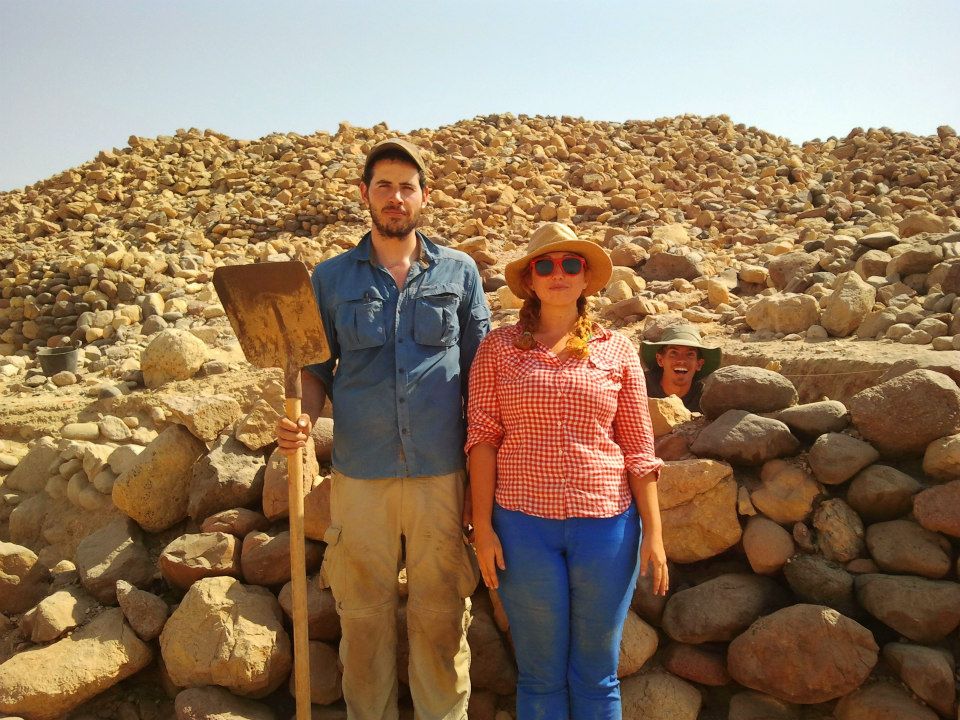
Both Vid and I were deployed to Jordan for this one- and in addition to our cohort of adorable former undergraduate besties- we were joined by a pair of lovely elven princesses: the magickal and amazing Claire McConnell (my best friend sister person of foreverness) and Canada’s pride and joy- Archaeobotany Anna (Last Name Redacted to match her Facebook Anonymity). It was therefore a field season of wonderful company and hilarious hard work.
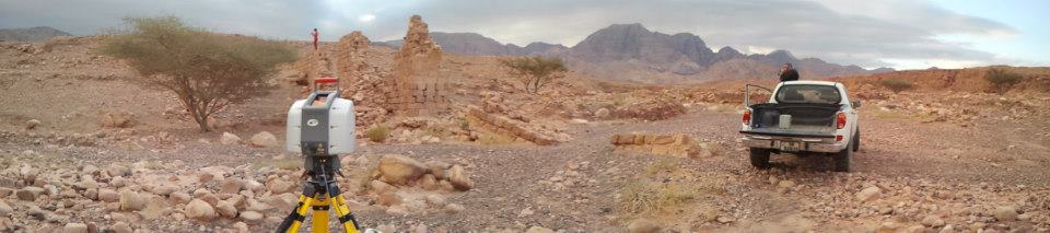
The first part of the season was filled with a multitude of excavations at Khirbat Faynan. During the first half of the day, I assisted Lead Project Archaeologist Aaron Gidding (oh Captain, my Captain) as undergraduate wrangler, meta-data keeper, and total station agent (super thanks to Kathleen Bennallack for some fabulous GIS training!). My afternoon was filled with return trips to each of the on-going excavations to scan the process with our trusty Leica Scanstation 2- creating a temporal point cloud record of the on-going efforts at each of the three open areas on the slopes of Khirbat Faynan, including round the Looter’s Pit area discovered the previous season.
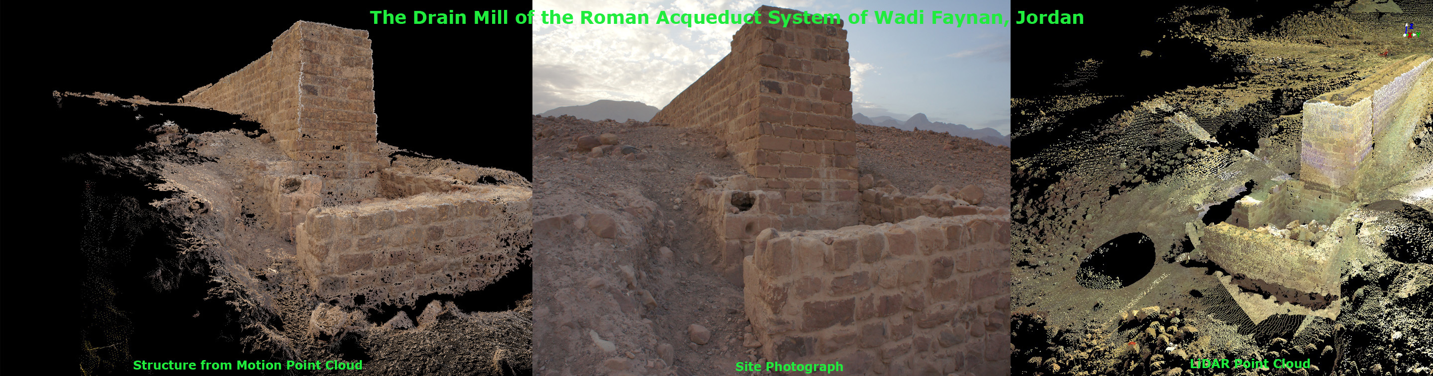
When excavations moved away from Khirbat Faynan in the second half of the season — with Vid and another CISA3 colleague- we undertook a digital survey of outlying sites as well as kept up with the temporal recording on the new excavations. This included further scanning at Khirbat Negeib Asemer, and newly digitized areas at Kathleen’s excavation in Wadi Fidan and across the wadi from Khirbat Faynan at the reconstructed and less well preserved Nabatean-Roman aqueduct system. In addition to laser scanning, we collected high resolution imagery for structure from motion modelling (i.e. using photographs to build a high photo quality, low point density cloud/mesh of an object/site). With the powers of these two systems combined- we wanted to implement a pipeline of cultural heritage imaging that would result in high quality imaging and modelling across the board.

2 thoughts on “Digitizing the Middle East: Successful Faynan Omnishambles”