
For much of the 2011 field season in Jordan, ELRAP was lucky to have the wonderful Dr. Paul Burtenshaw visiting and conducting fabulous research into the archaeological awareness of the local communities in the Faynan.
Our mutual enthusiasm for all things public archaeology resulted in a presented but unpublished collaboration known as “Point Cloud Visualizations as a Heritage Education Tool among the Local Bedouin Tribes in the Wadi Faynan region of southern Jordan.”
Abstract:
Although large scale international archaeological projects have been carried out in the Wadi Faynan region since the 1980s, hitherto very little public archaeology has successfully engaged the local people of the region. A recent study demonstrated that although there is much interest, there are significant gaps in the knowledge of the sites and of the process of archaeology amongst local communities. Recent digital visualizations of archaeological sites created using LiDAR (Light Detection and Ranging) laser scanning offer a tool to fill these gaps and engage local stakeholders. Over the past two field seasons, the University of California, San Diego’s Edom Lowlands Regional Archaeological Project (ELRAP) has laser scanned ten local sites ranging in date from the Neolithic to Islamic periods, that are being used to create digital models of the architecture and its surrounding landscape. Though initially created as a scaffold to geo-reference a wide range of archaeological data, ELRAP has begun using these visual tools to implement an archaeological awareness program aimed at the local Bedouin communities. The goal is to explain both the cultural significance of the sites in the area and the role of the archaeologist within the expanding local cultural heritage tourism. Over the next several seasons, by using digital visualization tools to explain scientific archaeological work to local audiences on a personal and museum quality level, it is hoped this program will contribute to both promoting civic pride and enhancing collective memory of the area and encourage local support for, and involvement in, heritage preservation and help to protect sites against looting and incipient mining projects. This process began during the 2011 field season through individual and group 3D presentations to the local tribal Sheiks (chiefs), Muktars (government appointed officials), school principals, and other dignitaries. This paper presents initial data and feedback from these sessions and reflects on how they can enhance future program design.
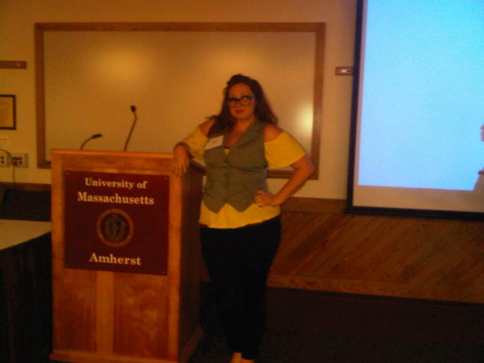
The concept was presented at the Center of Heritage and Society’s 2012 conference High Tech Heritage: How are Digital Technologies Changing Our Views of the Past? organized by Elizabeth S. Chilton and Neil A. Silberman and held at the University of Massachusetts, Amherst.
As I was in the area, I took advantage of the trip to visit with one of my besties at the Tufts University and go on an anthropological history tour of MA, which I later blogged about for my part-time job as a lecturer with the College of the Sacred Mists in “Sacred Pilgrimages: A Witchy History Tour of Salem, MA (2012)”
x Ashley M. Richter x
